

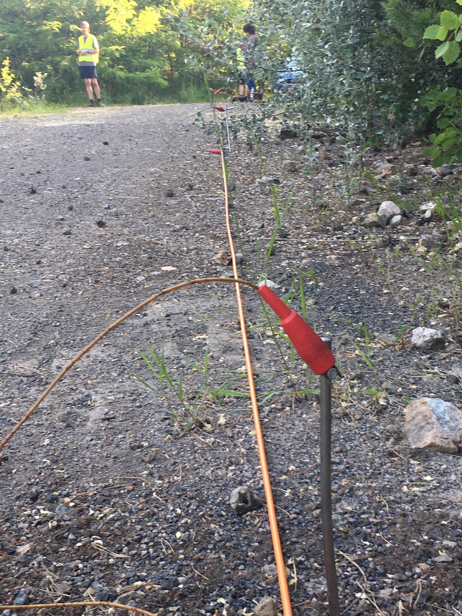
Electrical resistivity imaging is an important geophysical method used to investigate subsurface conditions without the need for direct excavation.
What is electrical resistivity imaging?
The method works by injecting electrical current into the ground through electrodes and measuring the resulting potential difference using other electrodes.
By collecting a large number of measurements and applying geophysical processing and inversion, a model can be produced showing the estimated distribution of electrical resistivity beneath the surface.
When multiple electrodes are used along a survey line to produce a two-dimensional section or more detailed subsurface model, the method is commonly referred to as:
Electrical Resistivity Tomography (ERT)
What can ERT reveal?
Variations in electrical resistivity can help identify changes in soil and rock properties, water-saturated zones, some subsurface voids, and geological variations.
Common applications include:
- Geotechnical investigations.
- Groundwater exploration.
- Environmental studies.
- Investigation of soil and rock variations.
- Supporting the detection of some weak zones or subsurface voids.
Is a resistivity model a direct image of geology?
No.
The result of an electrical resistivity survey is a geophysical model showing the estimated distribution of subsurface electrical resistivity. It is not a direct image of geological formations.
Similar resistivity values may be produced by different materials or geological conditions. For this reason, interpretation should consider site geology and, whenever possible, available geotechnical, borehole, or other supporting information.
Why are electrode spacing and array selection important?
Electrode spacing directly influences investigation depth and the level of detail that can be resolved.
The selected electrode array also affects measurement sensitivity, horizontal and vertical resolution, investigation depth, and signal-to-noise characteristics.
Survey geometry should therefore be selected according to the investigation objective, expected target depth, and site conditions.
What affects data quality?
The quality of electrical resistivity results depends on several factors, including:
- Survey design.
- Electrode spacing.
- Electrode array configuration.
- Electrical contact with the ground.
- Site noise.
- Field data quality.
- Data processing.
- Inversion.
- Correct geophysical interpretation.
High-quality results therefore depend not only on the instrument itself, but on the complete workflow from survey design and field acquisition to inversion and interpretation within the geological and engineering context of the site.
Image: Glab310 / Wikimedia Commons / CC BY 4.0